Grand Tournalin Mountain Hut, from the Frachey car park

Edited by:
mbell
Updated at: 13/09/2026
Access
Introduction
An interesting cycle ride on the slopes of the Tournalin massif. The route does not present any particular technical difficulties, but its elevation gain (846m) makes it challenging nonetheless.
Saint-Jacques – Alpe Nana Inferiore – Alpe Nana Superiore – Grand Tournalin Mountain Hut
Description
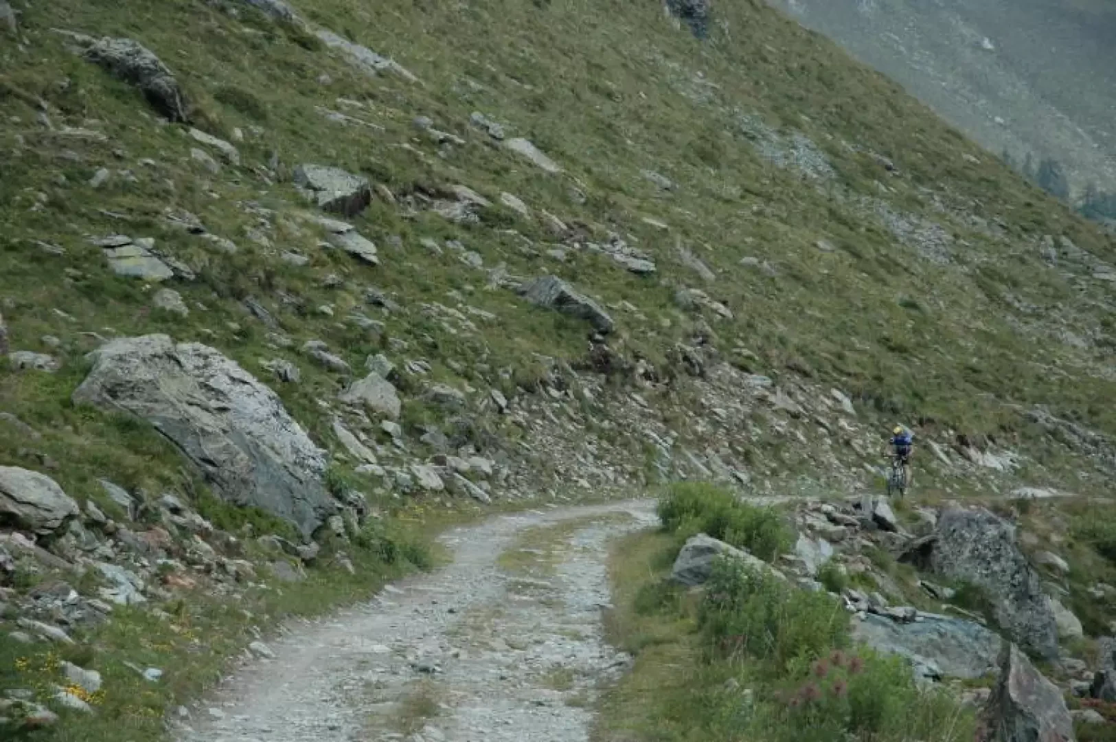
You arrive, possibly by car, at St. Jacques square (1,650 m), where you are advised to stock up on water. Continue for about 300 m along the tarmac road until you reach, at the end of a slope, a junction marked by a stone pillar in the middle of the road. Here, turn left, crossing the stream, and continue along the tarmac road for a further 300 m, where the dirt track begins. After about 800 metres, you’ll reach a junction on a slight slope. Take the left-hand path. After about 2 km of a not-too-steep climb on fairly even ground, passing a few mountain pastures, you’ll reach Alpe Nana Inferiore (2,050 m). Near an alp, you’ll come across a dirt track that continues on level ground, running parallel to the Cortot channel, both to the right and to the left. Continuing the climb for about another km, you’ll reach Alpe Nana superiore (2150 m). The road continues with a gentle climb through the valley and then, after two hairpin bends, begins to climb more steeply again. Immediately after the second hairpin bend, you’ll come to an alpe where it is sometimes possible to top up your water supply. The road then climbs again in a single, steep stretch for about 1.5 km. Then, where the valley narrows again, the hairpin bends resume and, after approximately another 2 km, you reach Alpe Tournalin (2,500 m), where, during the height of summer, you can stop – and have a bite to eat! – at the mountain hut. The descent follows the same route as the ascent. The more adventurous can continue along the inter-valley path with their bikes on their shoulders and, upon reaching the Colle di Nana (2,773 m), descend into the adjacent Valtournenche valley.
Comments (0)
Sign in to leave a comment